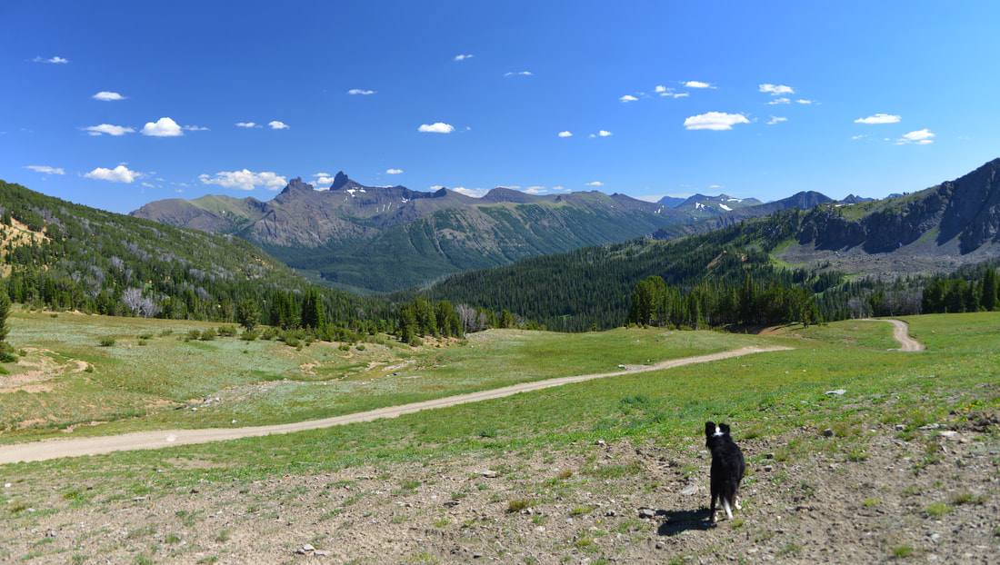
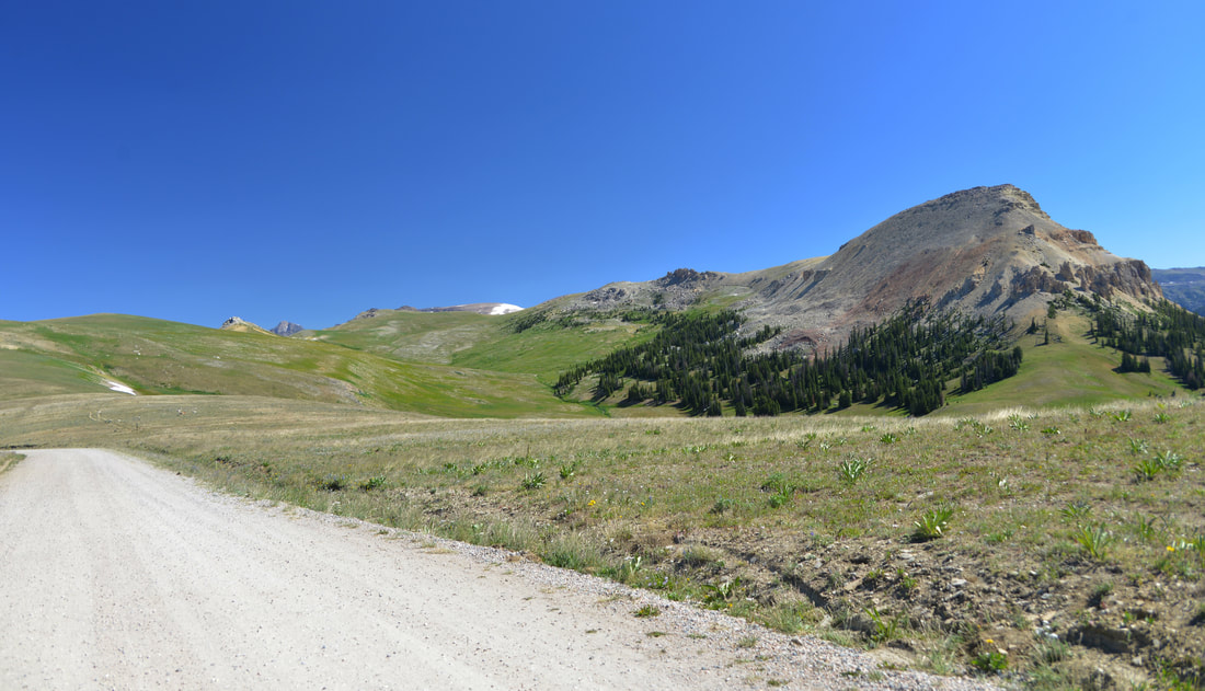
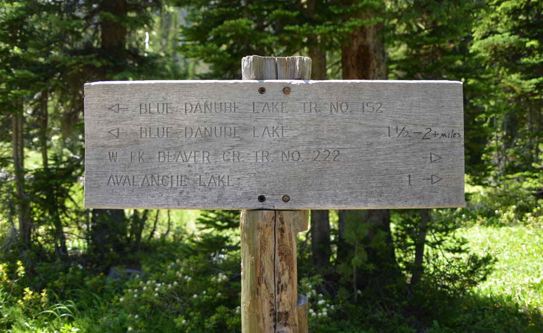
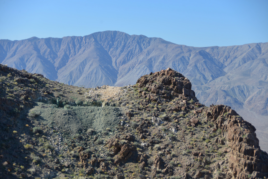
As popular as the west side of the southern Bridger range is, the east side of the range is equally as secluded. Thousands of people drive within miles of the peaks every day, but approaching from the east is not an easy task. Although the highway traverses within 3 to 4 miles of the ridge line, there are no public access routes until you reach Bridger Bowl ski area approximately 10 miles up the canyon. As a result, venturing into the south-eastern Bridgers is a surprisingly remote and wild experience for its location close to the frequented trails and peaks near Bozeman.
I have looked at the east face of Mount Baldy and envisioned skiing it countless times on the drive up to Bridger Bowl in the winter, but have never taken the time to make it happen. The line is nothing particularly spectacular or noteworthy - just another one of numerous open bowls and avalanche gullies dotting the east side of the range south of Bridger Bowl - and I have always ended up heading for different peaks and lines that have found a place higher on my list.
Before I go any further, I should add a note on the naming of Mount Baldy. As a child, my family hiked Mount Baldy almost every summer as a first “warm up” hike of the spring. We always climbed the highest bare knob visible from town that I always knew as the summit of Mount Baldy. My family always referred to it as Mount Baldy, and the summit cairn and register are all located on the bald knob. The next rocky, high point before Saddle Peak I knew as Bridger Peak. Its a bit embarrassing to admit, but I don’t think I had ever really looked at a topographic map of the southern Bridger Mountains until this year. However, after reviewing maps and researching various online resources, the true summit of Mount Baldy is the rocky high point I always knew as Bridger Peak. What topographic maps label as Bridger Peak is nothing more than a slight bump on the ridge line between Saddle Peak and Mount Baldy. Although most people refer to the bald knob visible from town as Mount Baldy, the Mount Baldy I describe here is the true summit further north.


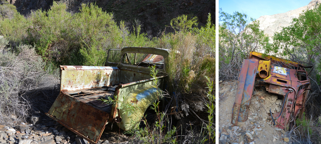
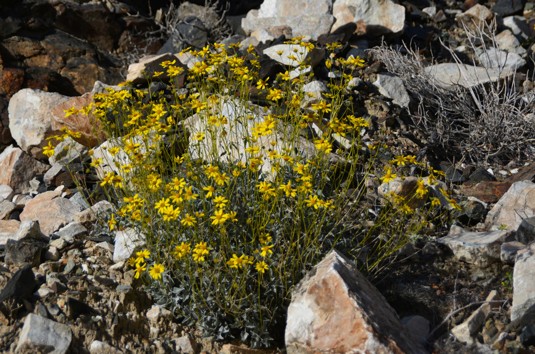
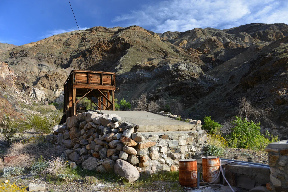
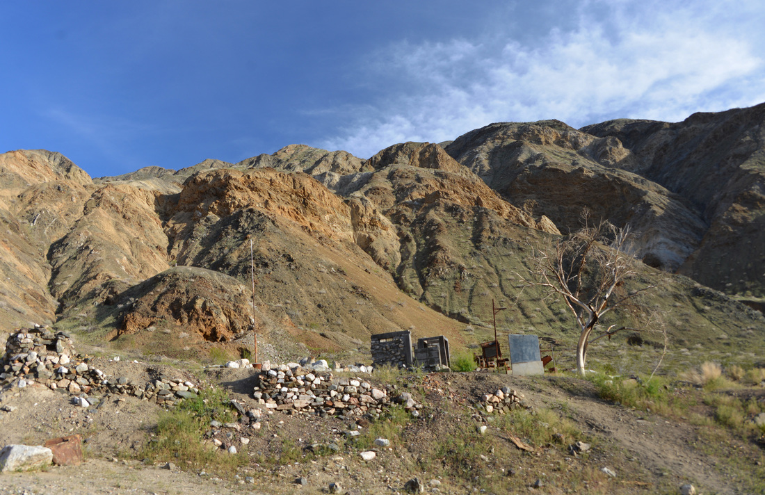
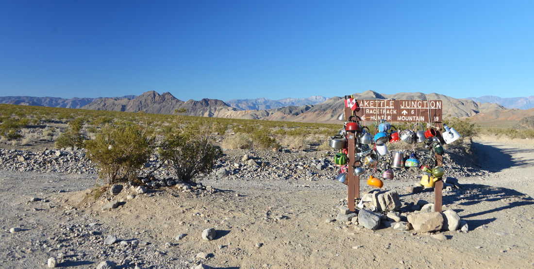
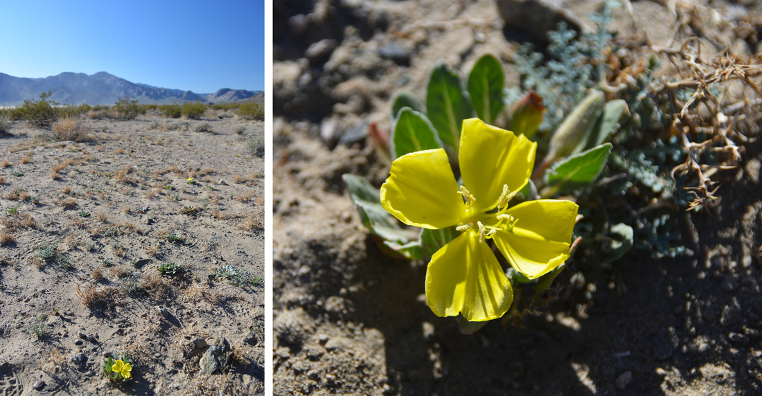
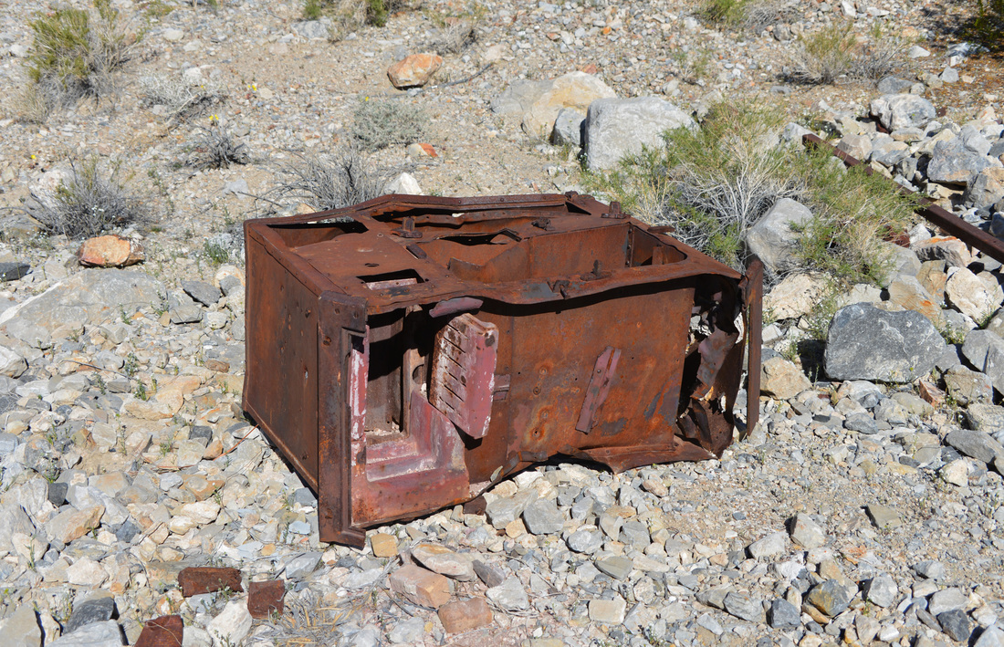
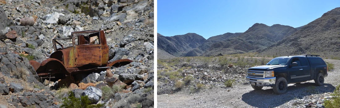
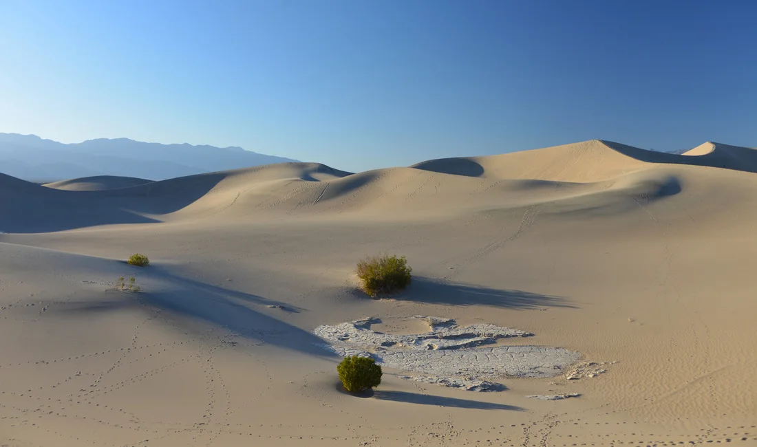
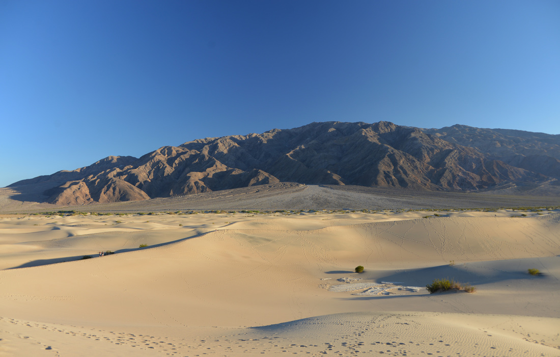
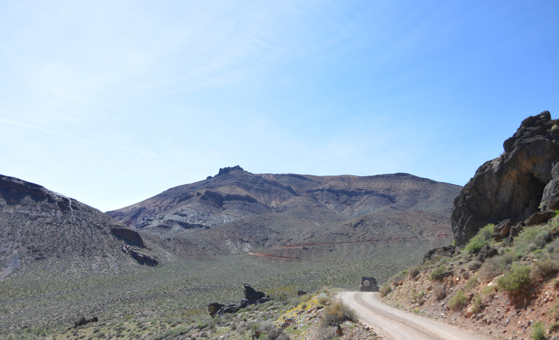
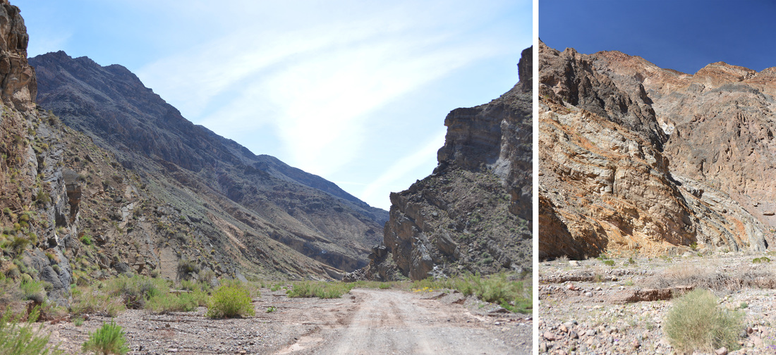
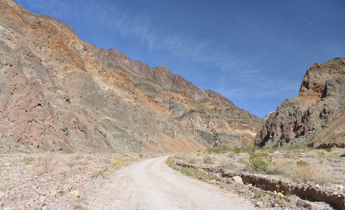
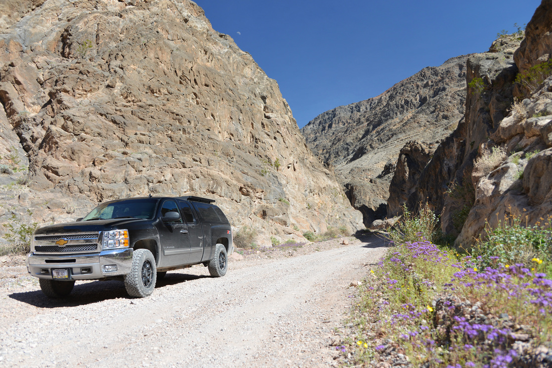
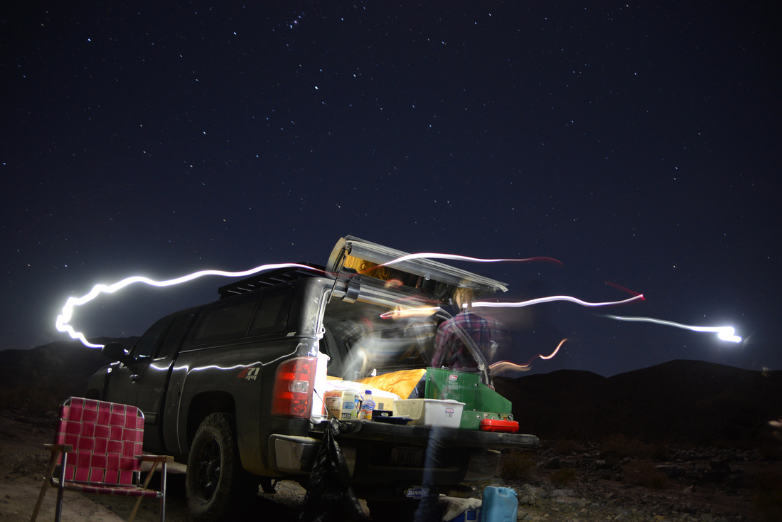
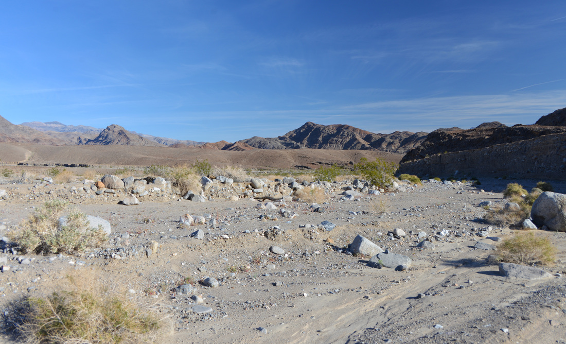
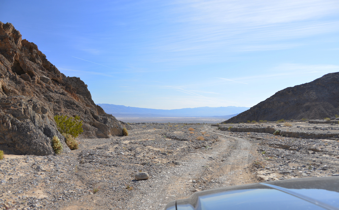
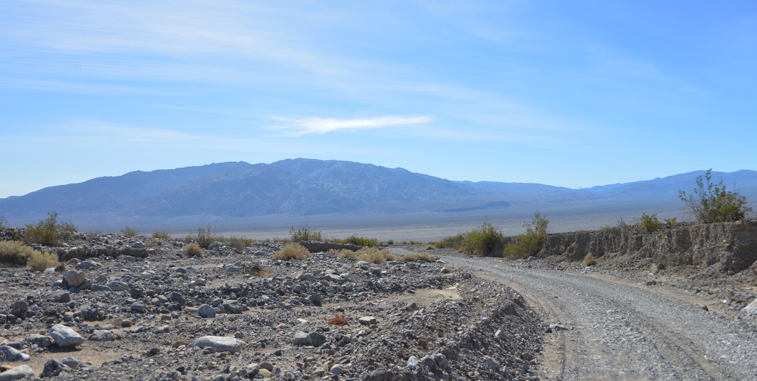
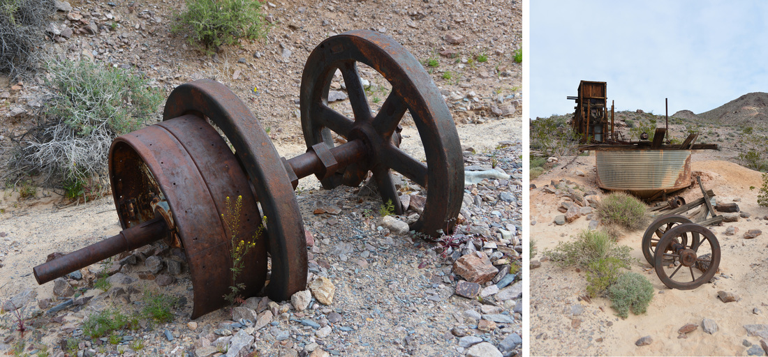
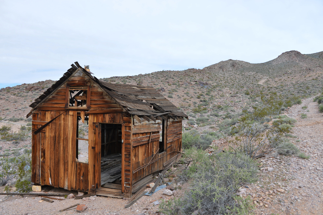
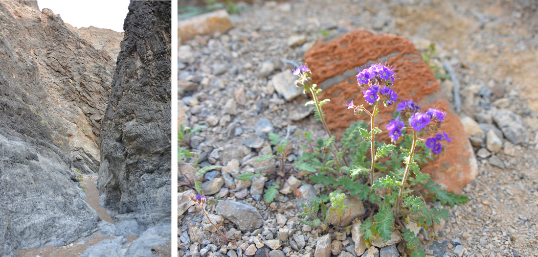
The spring, and now summer, of 2020 has been a strange time. After returning from Death Valley in late March (including the first 3 official peaks of the 30 Peaks Project - to come in a future post), the world basically shut down due to Covid-19. My office had transitioned to working from home by the time I returned, and even the ski areas had shut down. I spent the next couple weekends sleeping in and enjoying lazy touring days in the mountains, but having decided to pursue summiting 30 peaks I began to itch for another summit day. After thinking over some possible summits appropriate for the snow (and Covid) conditions, I decided it was finally time to head for Mount Baldy.
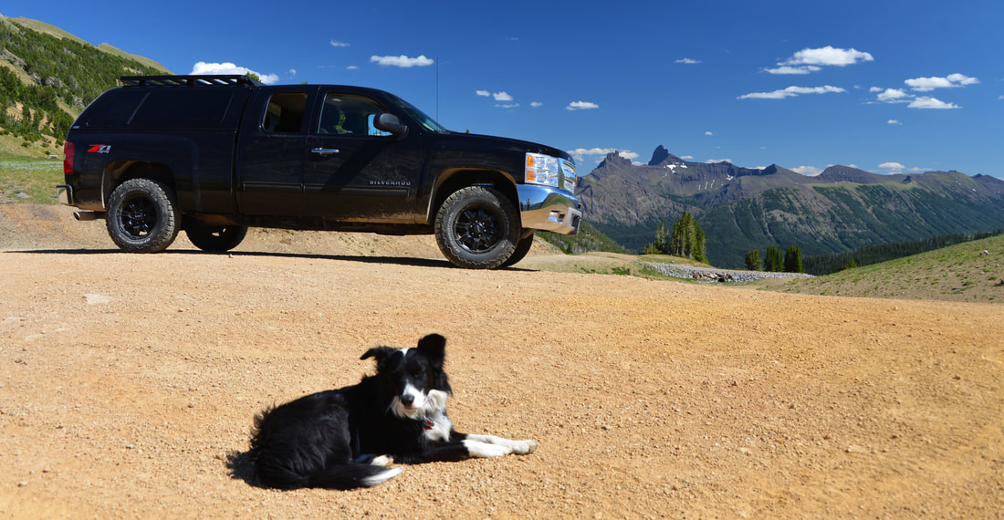
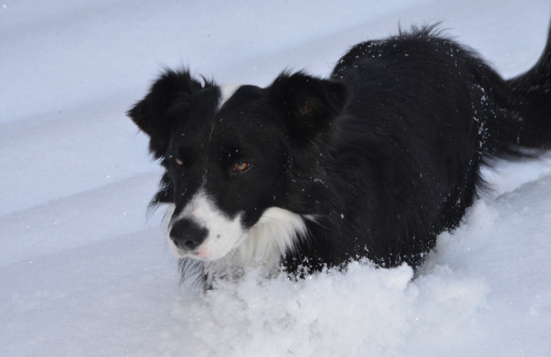
The day started off much the same was as the past couple weekends - a slow and relaxing morning. After enjoying a good breakfast, Carl, Lex, Sugar, and I drove up to the shuttered Bridger Bowl base area and set off from the parking lot - Carl on snowshoes, Lex & Sugar “on paw,” and me on skis. With the Bridger Bowl lifts idle for the season, the climb started right out of the parking lot. However, the ski area being closed also meant the dogs could join us.
The skin to the base of the Schlasman’s lift went by relatively quickly and easily. The day was a little overcast, but the morning air was invigorating and the clouds kept the heat at bay. From the base of the Schlasman’s lift, the skin track becomes much more strenuous, climbing approximately 1,600 feet to the main Bridger ridge line. The previous day had been warm, and the combination of a steep skin track and iced over snow provided for some challenging conditions. However, Lex and I still made good time and reached the ridge line by mid-morning. Carl and Sugar decided that the skin track to the ridge was too steep for snowshoes, and instead spent the day exploring south of the ski area below Saddle Peak.
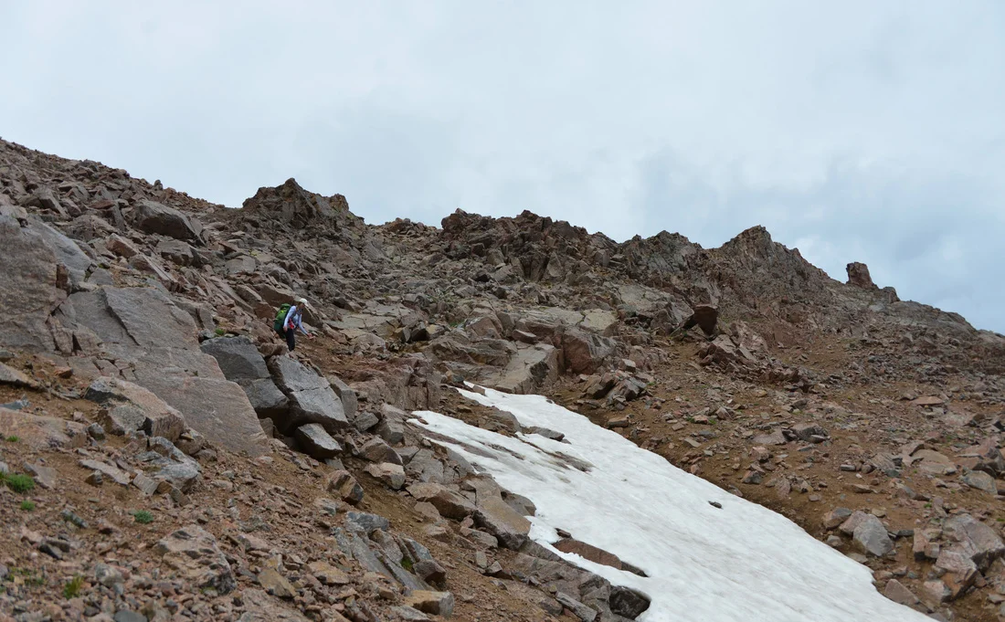
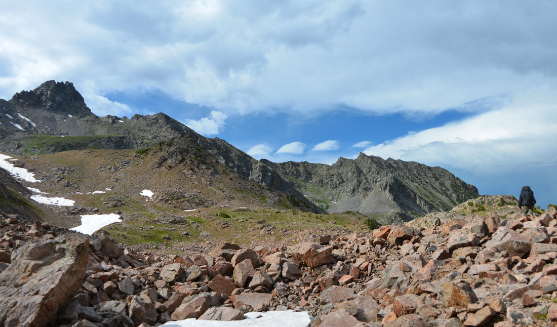
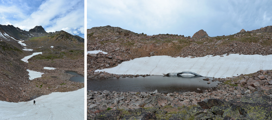
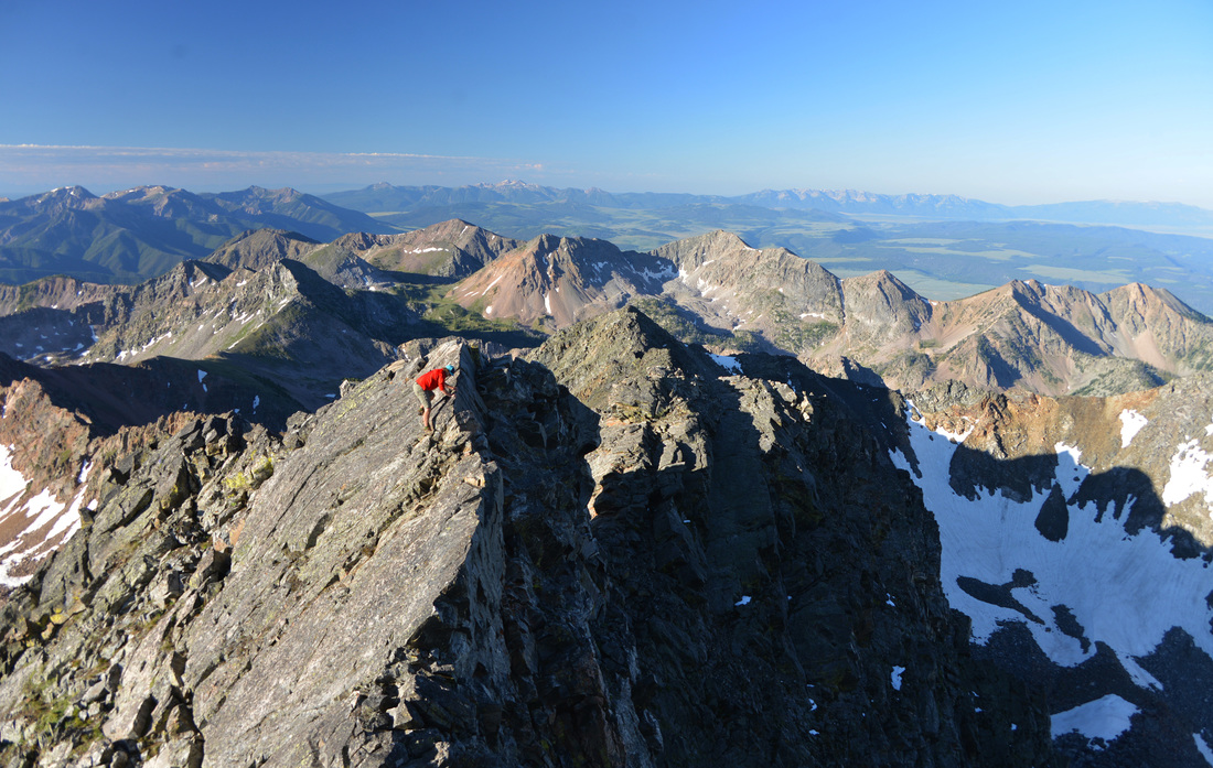
The journey across the ridge line to Saddle Peak is usually a frequently traveled route during the winter months with a good boot-pack to follow. However, with the lifts closed the climbing traverse to the base of Saddle Peak was an adventure, and slow methodical travel was necessary in order to avoid an unpleasant slide down the icy/rocky terrain below. The skin up to Saddle Peak was easy as always, but the only safe route down the south shoulder of the peak was a rocky, wind-swept scramble in ski boots to avoid overhanging cornices. Lex and I took a brief lunch break north of Bridger Peak, and made quick work of the rest of the ridge line until reaching the north shoulder of Mount Baldy. The final quarter-mile to the summit was a true slog - too steep to skin straight up the ridge line and lines of hollow drifts and small trees making both skinning switch backs and boot-packing miserable. Finally, after a seeming eternity of wallowing in snow drifts, I pulled myself and Lex up the final, near vertical, few feet to the top of the Mount Baldy summit blocks where we relaxed and enjoyed the views before gearing up for the descent.
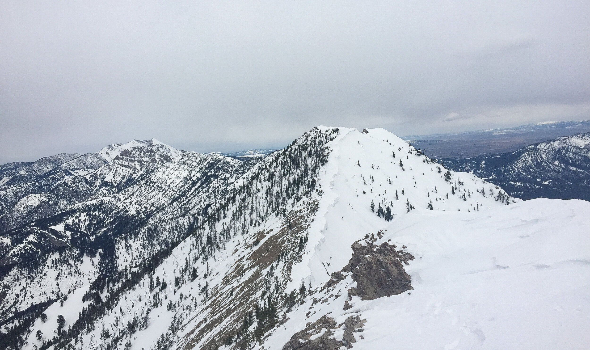
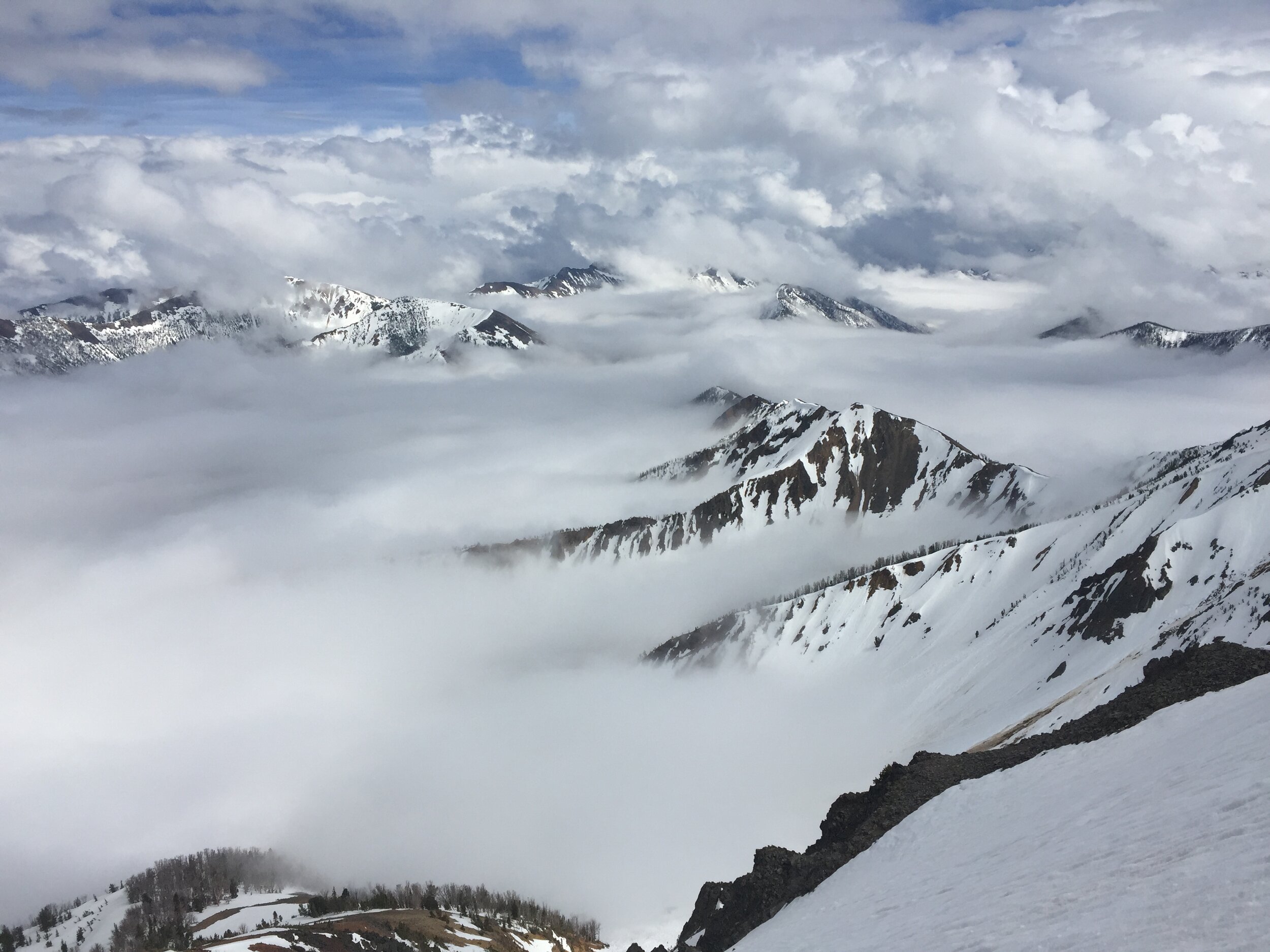
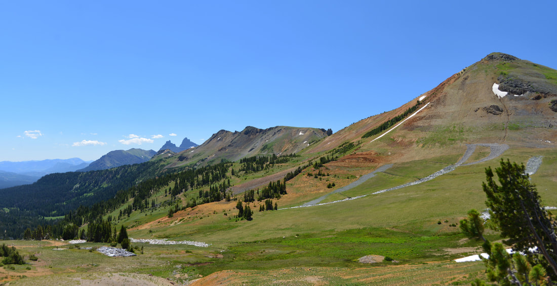
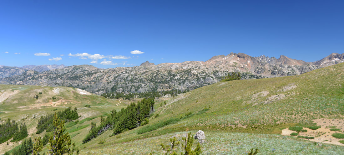
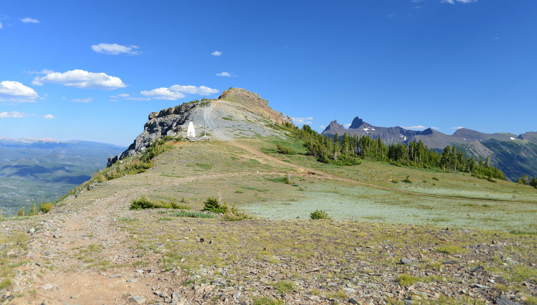
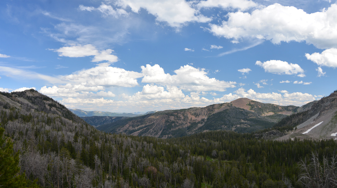
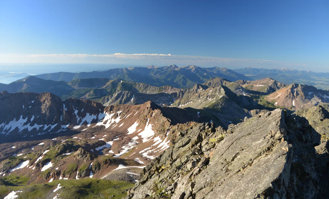
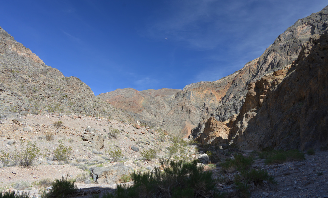
View north from Bridger Bowl’s southern boundary.
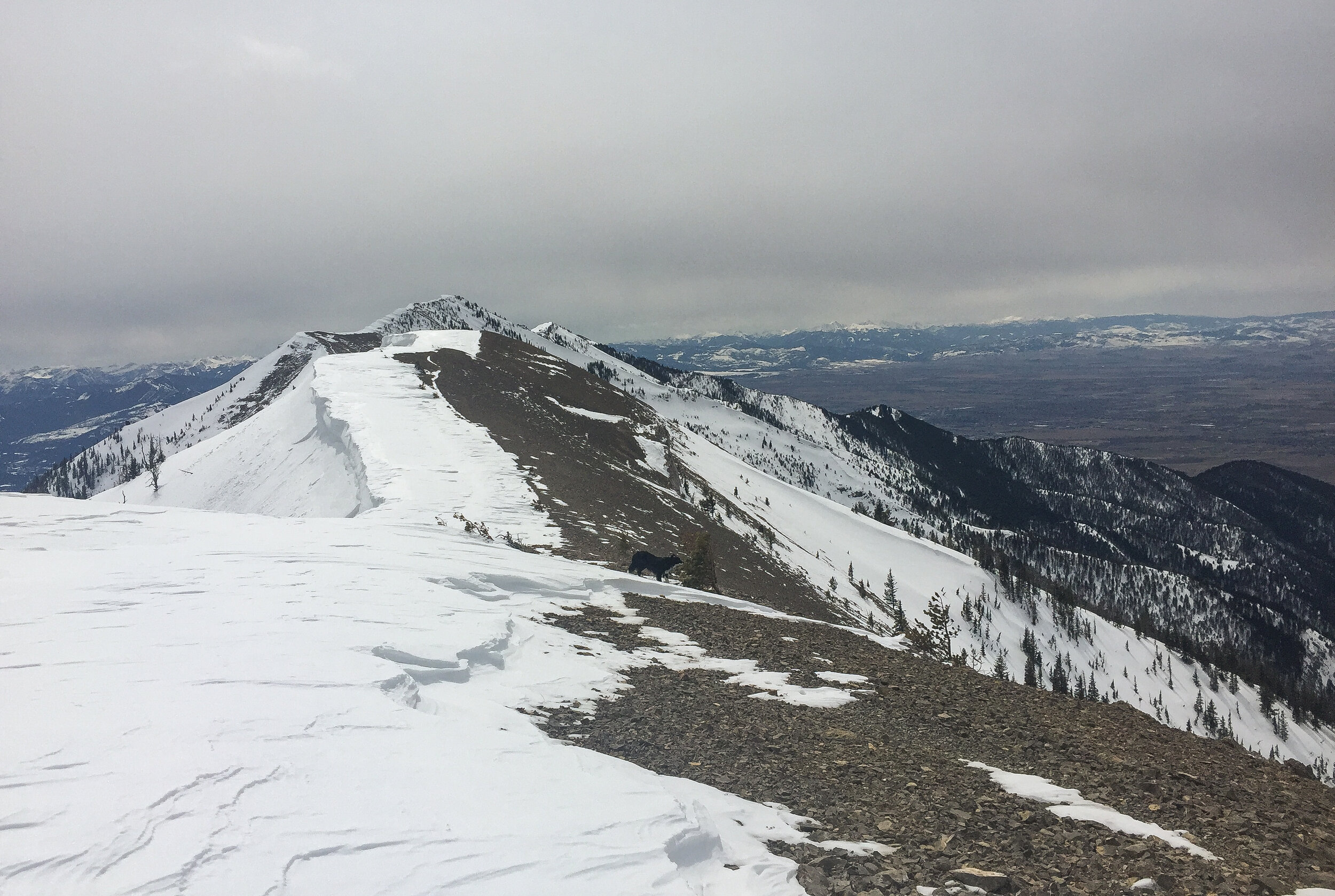

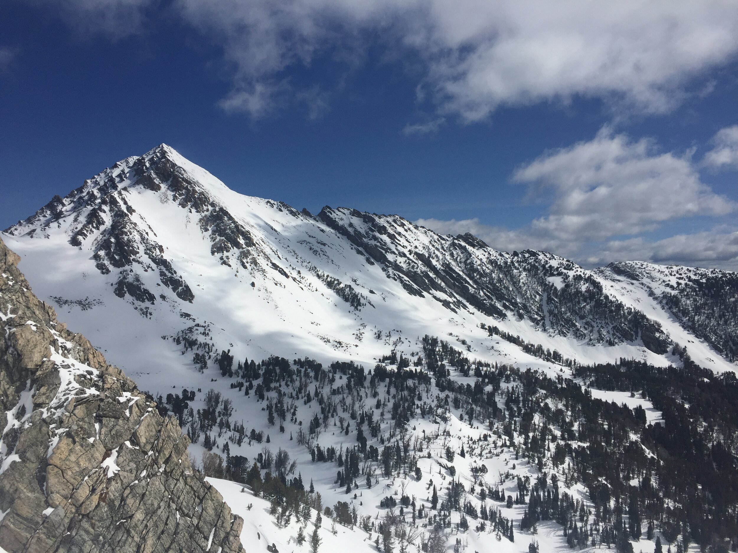
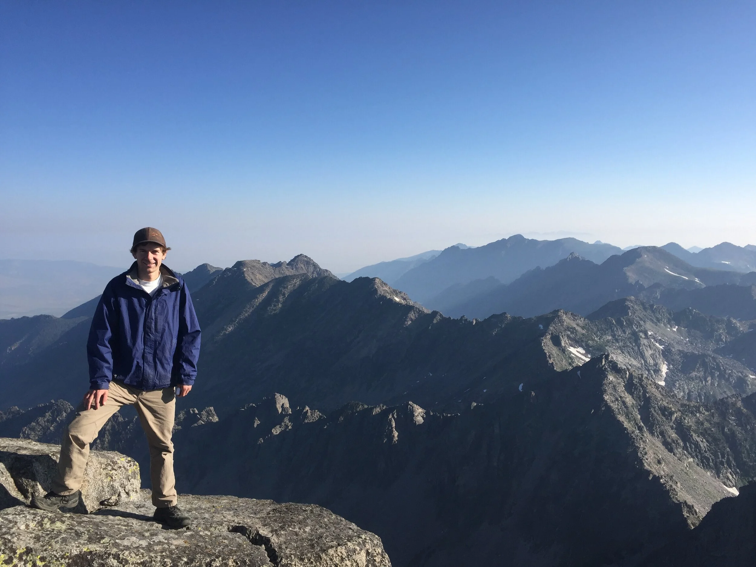
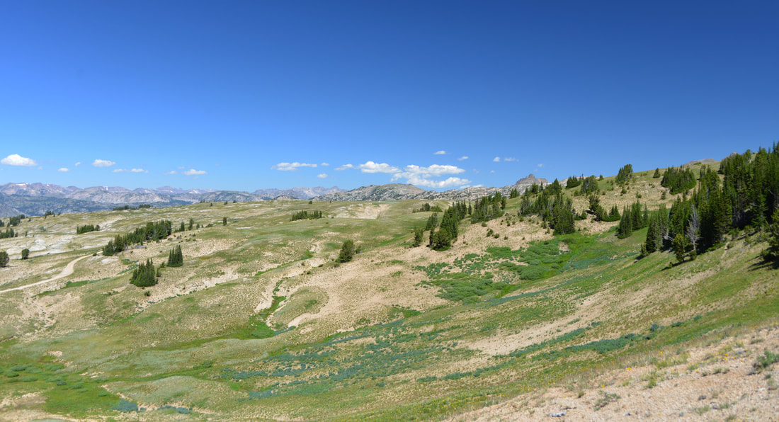
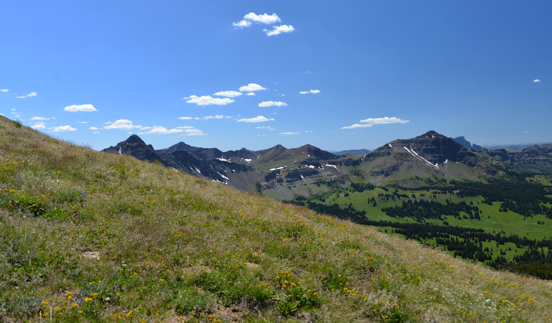
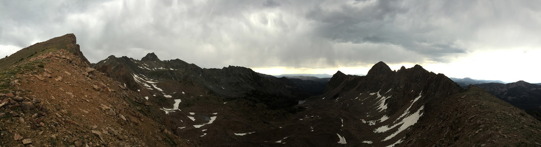
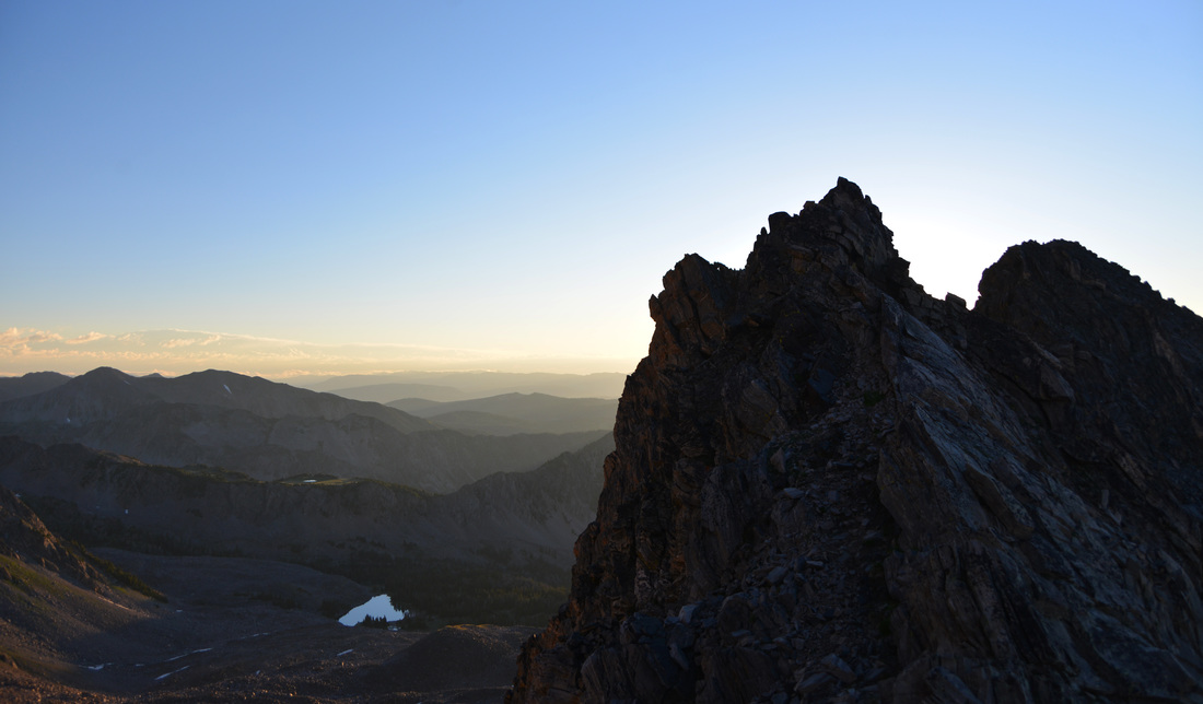
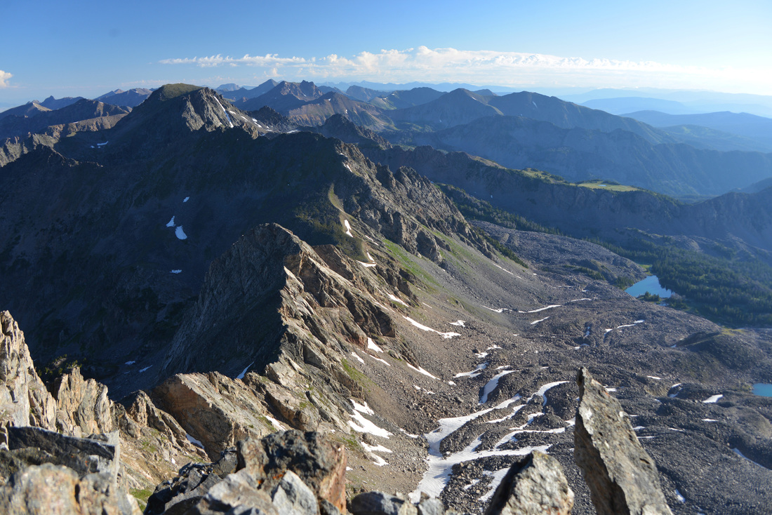
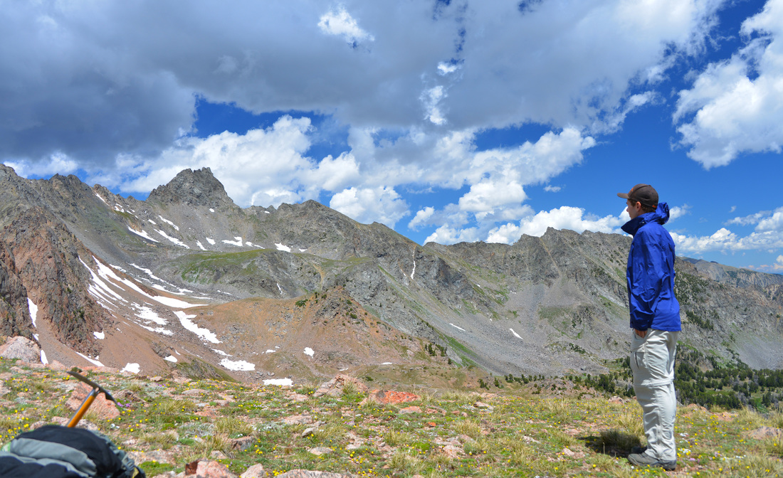
The view north from the summit of Mount Baldy
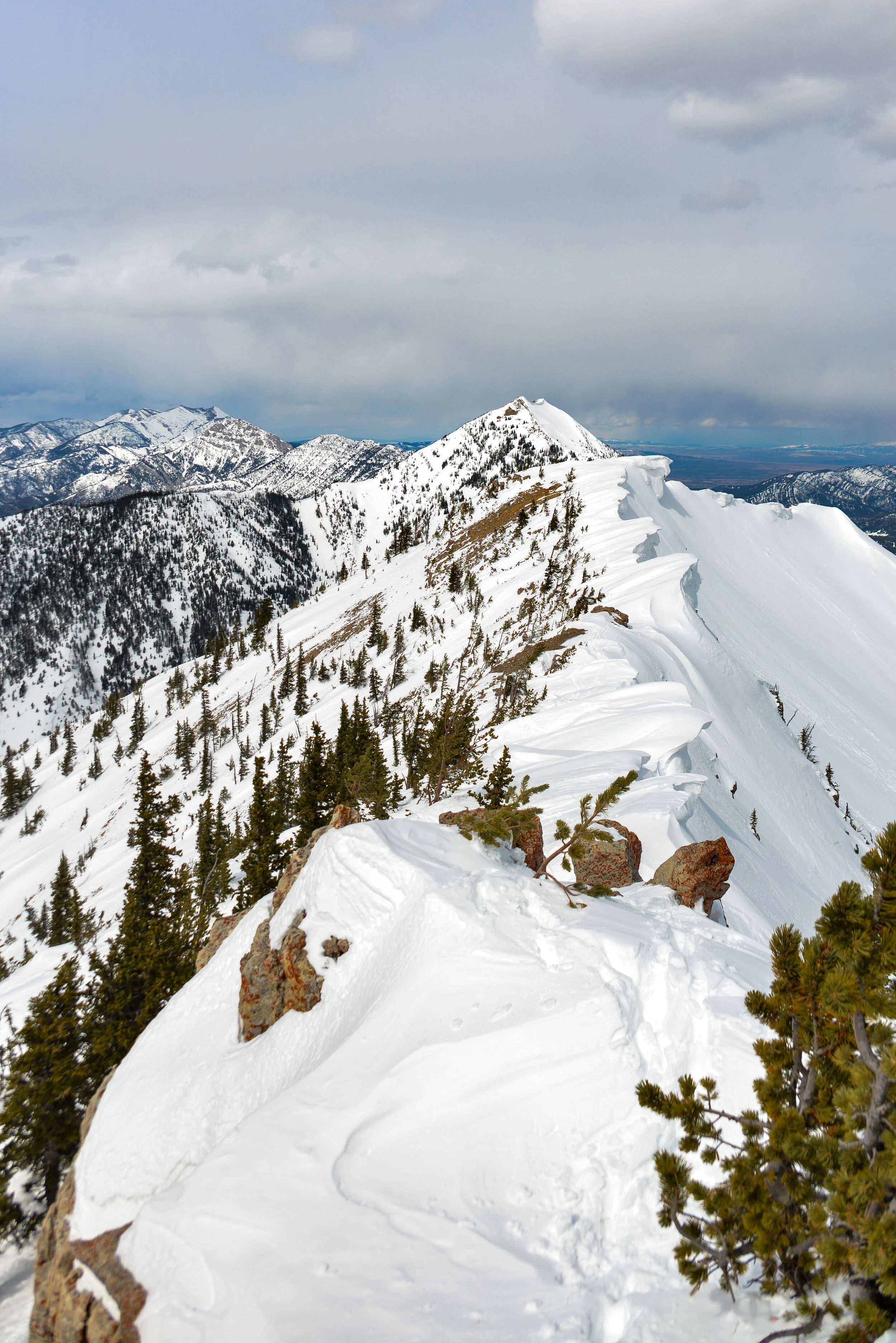

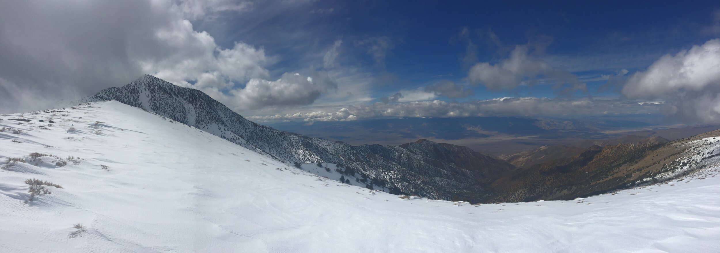
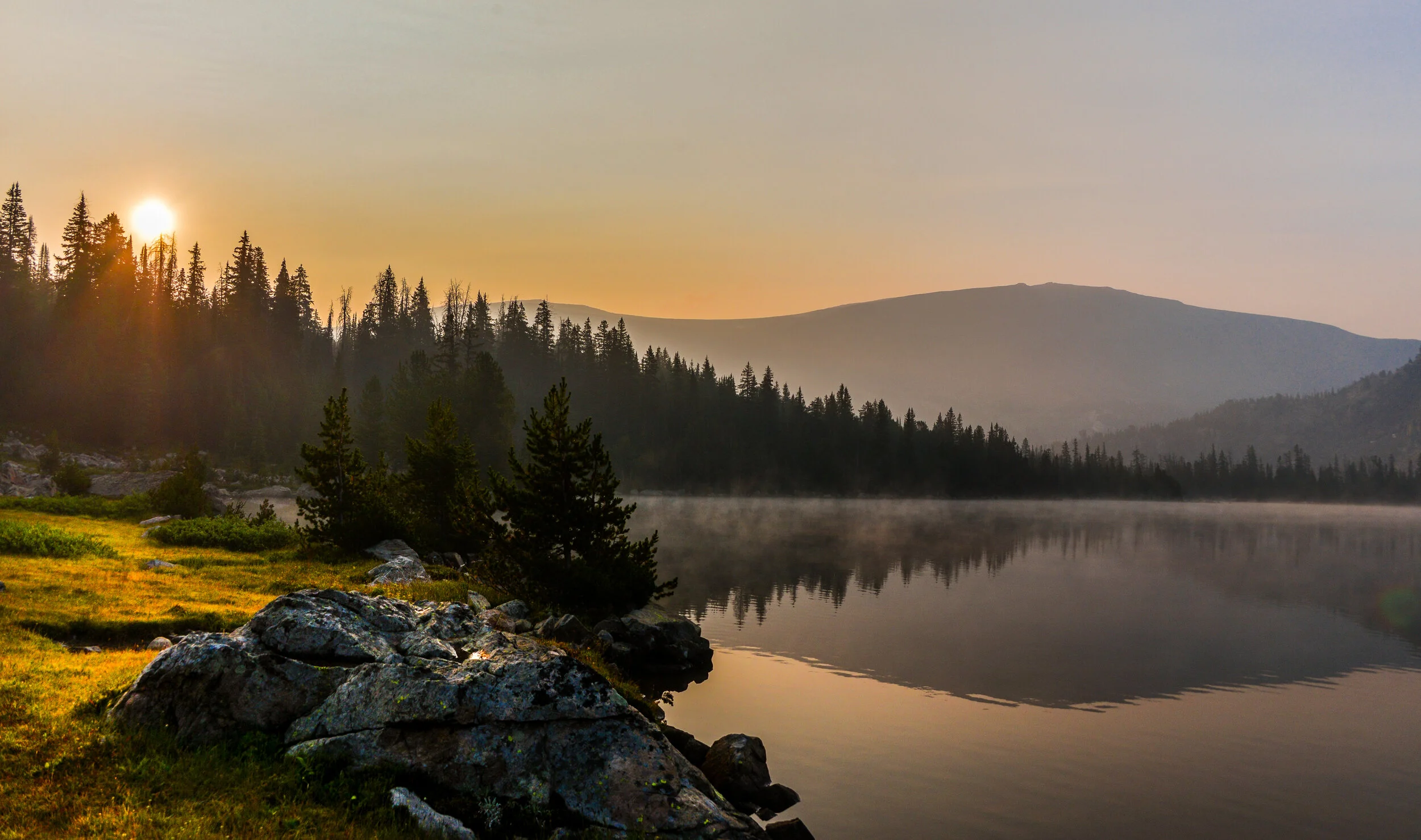
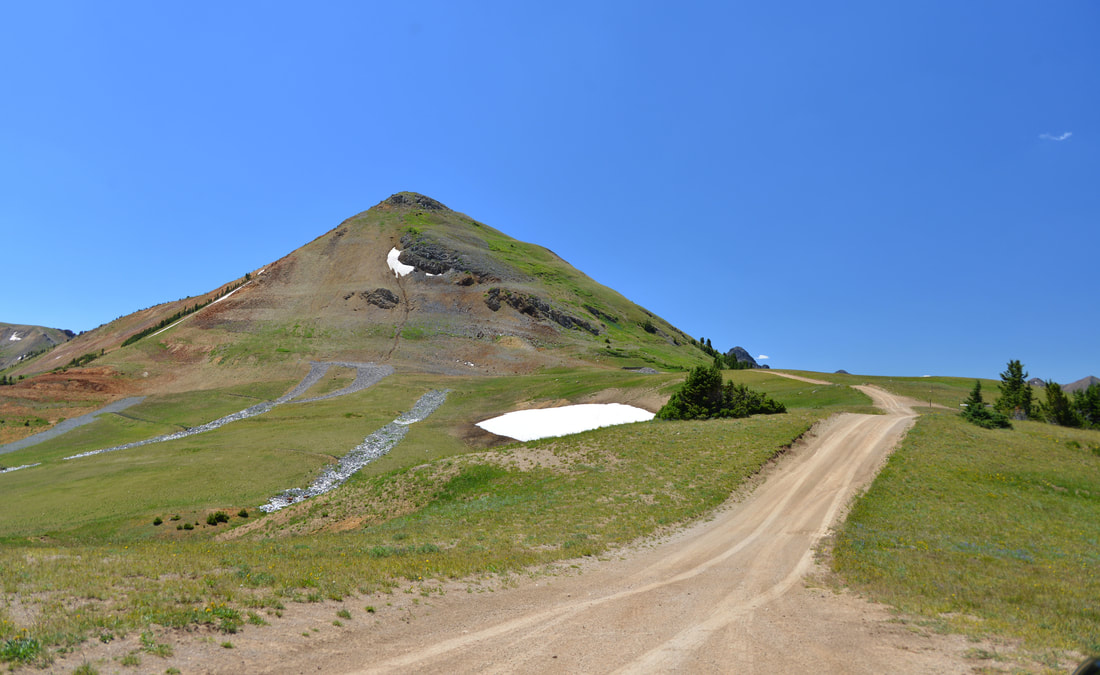
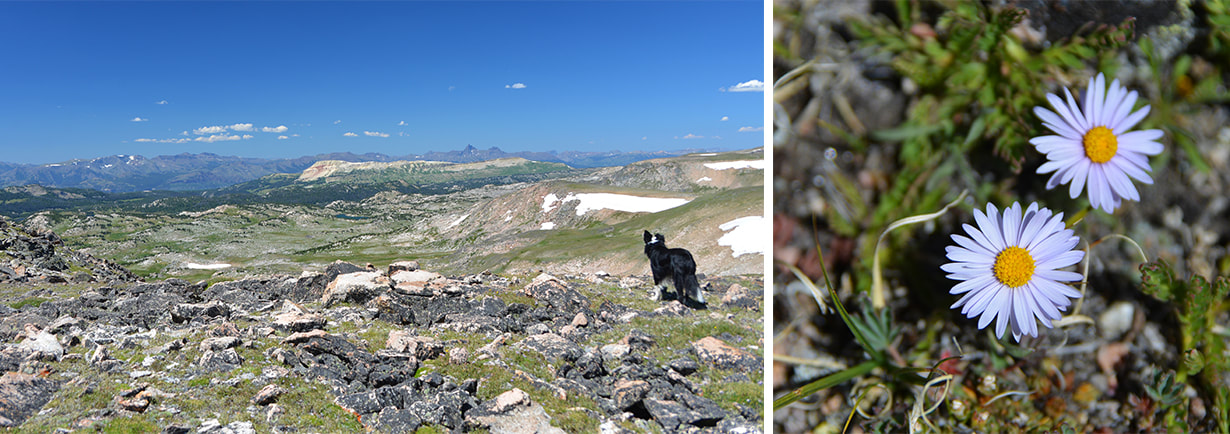
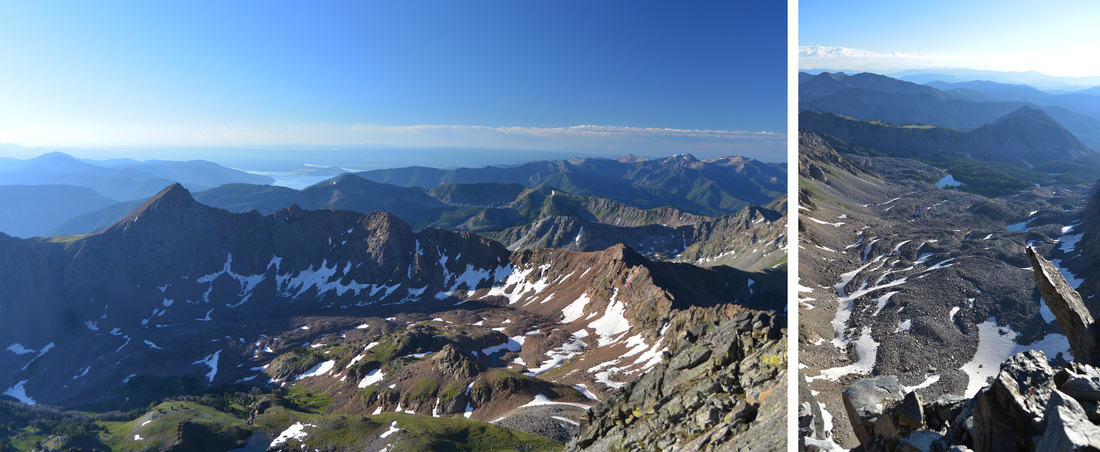
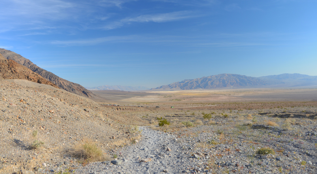
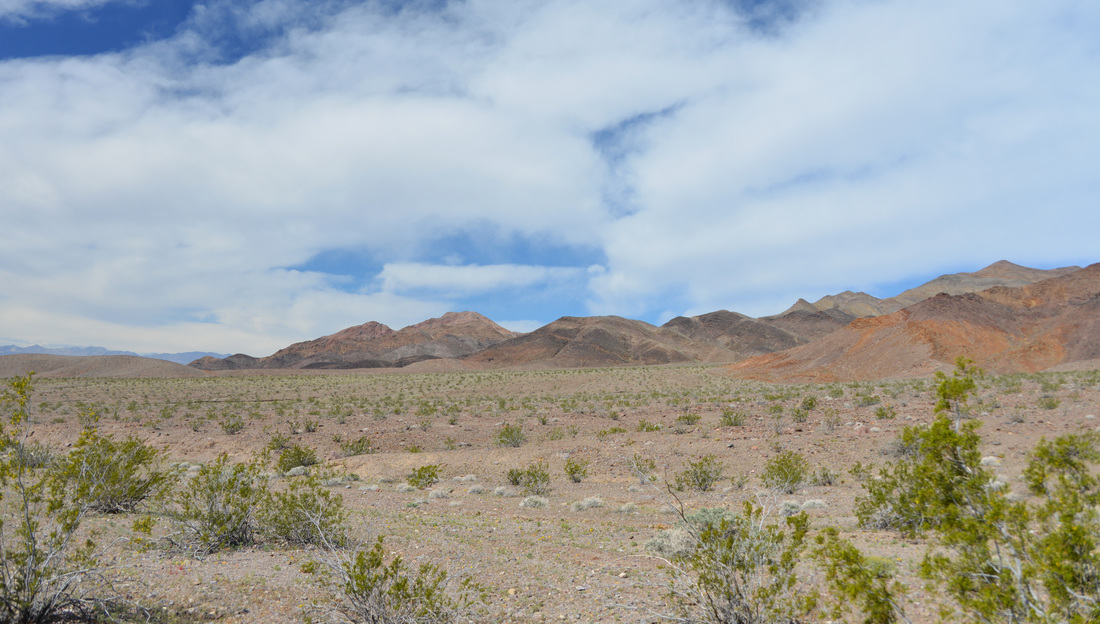
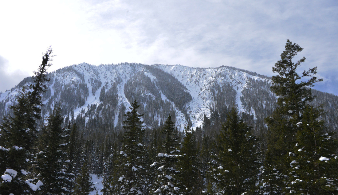
The southern end of the Bridger Range and the edge of the Gallatin Valley.


The descent down the east face of Mount Baldy was everything I had hoped for. After navigating the wind blown hard-pack at the top and testing out the stability, the meat of the line turned into perfect creamy spring powder! The open face is dotted with many fun little airs, particularly at the top, but being solo in such a remote area and with the Covid conditions, I decided it was best to stay conservative and keep it in snow contact this time. The skiing was great regardless, and I enjoyed each creamy turn for over 2,000 vertical feet with Lex yipping in excitement behind me. We skied into the base of the bowl and began a descending traverse at an elevation of approximately 6,700 feet, working our way north through low snow, brush, and gullies until we reached an old logging road.
Once we reached the logging road, we took a brief break for water and a snack, and then pulled the skins out for the trek back to the ski area. The skin back to the ski area was relatively easy in terms of elevation gain, but the warm snow conditions and our diminishing energy meant that we were in for a bit of a slog. Even Lex started dogging along at my heal instead of breaking trail. Eventually we ran into the snowshoe trail left by Carl and Sugar which buoyed both of our spirits and gave us a little extra energy for the last bit of skinning back to the base of the Schlasman’s lift.
At the bottom of Schlasman’s, we once again pulled skins and clipped in for the final ski back to the car. The road back to the base area from Schlasman’s is usually a slow ski under the best of conditions, and I was dreading how much skating the warm weather might require. Fortunately, the snow conditions and my recent waxing proved surprisingly compatible, and the ski out was one of the quickest and easiest in recent memory.
All told, it was an amazing day in the mountains covering over 11 miles, almost 4,000 feet of elevation gain, and over 2,000 vertical feet of amazing skiing. Summitting Saddle Peak and Mount Baldy also increased my tally to 5 peaks* for the year. The amount of effort required to get to and from the line is high and I doubt that I will make frequent return trips. However, the remoteness of the line and my desire to explore some of the terrain variations will almost assuredly draw my back in the future!
*Note on the peak tally: As of the date of the Mount Baldy trip, I had summited Rogers Peak, Bennett Peak, and Telescope Peak during the Death Valley Trip. I also summited Bridger Peak during the Mount Baldy trip. Technically, Bridger Peak meets the criteria I set for the 30 Peaks Project. However, as of the time I am writing this entry, I cannot make myself count it in the tally. It can hardly be considered a distinct peak under even the most generous definition, and I am still puzzled why anyone believed it to be worth naming. Thus, the peak tally after the Mount Baldy trip sits at 5 summits out of 30.


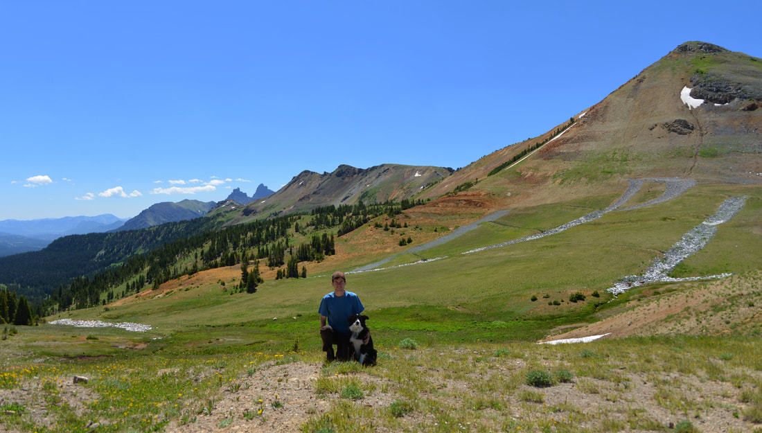
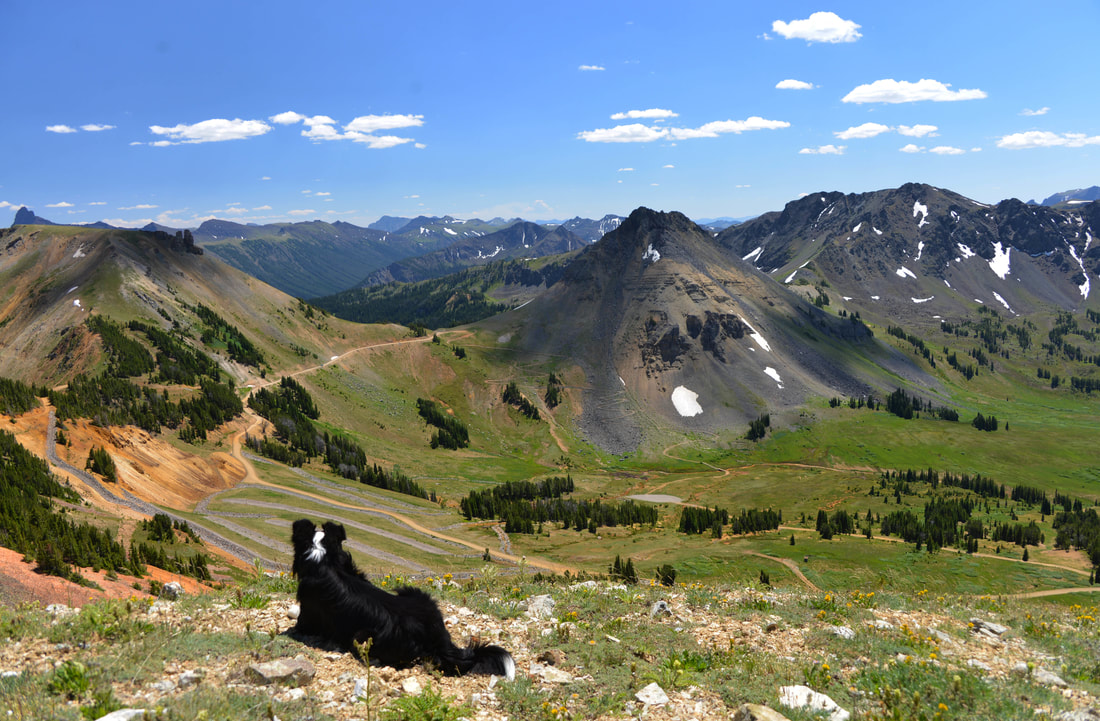
Looking back up the east face of Mount Baldy.

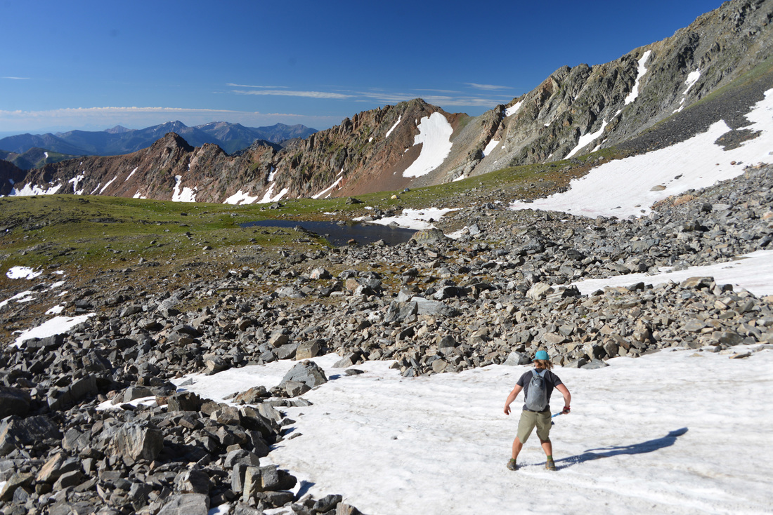
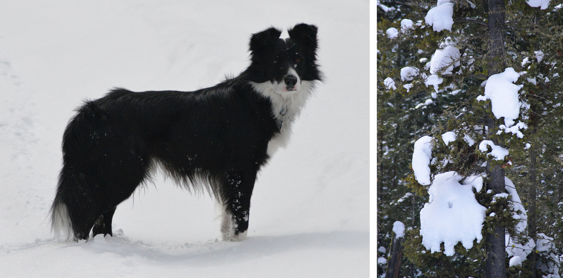
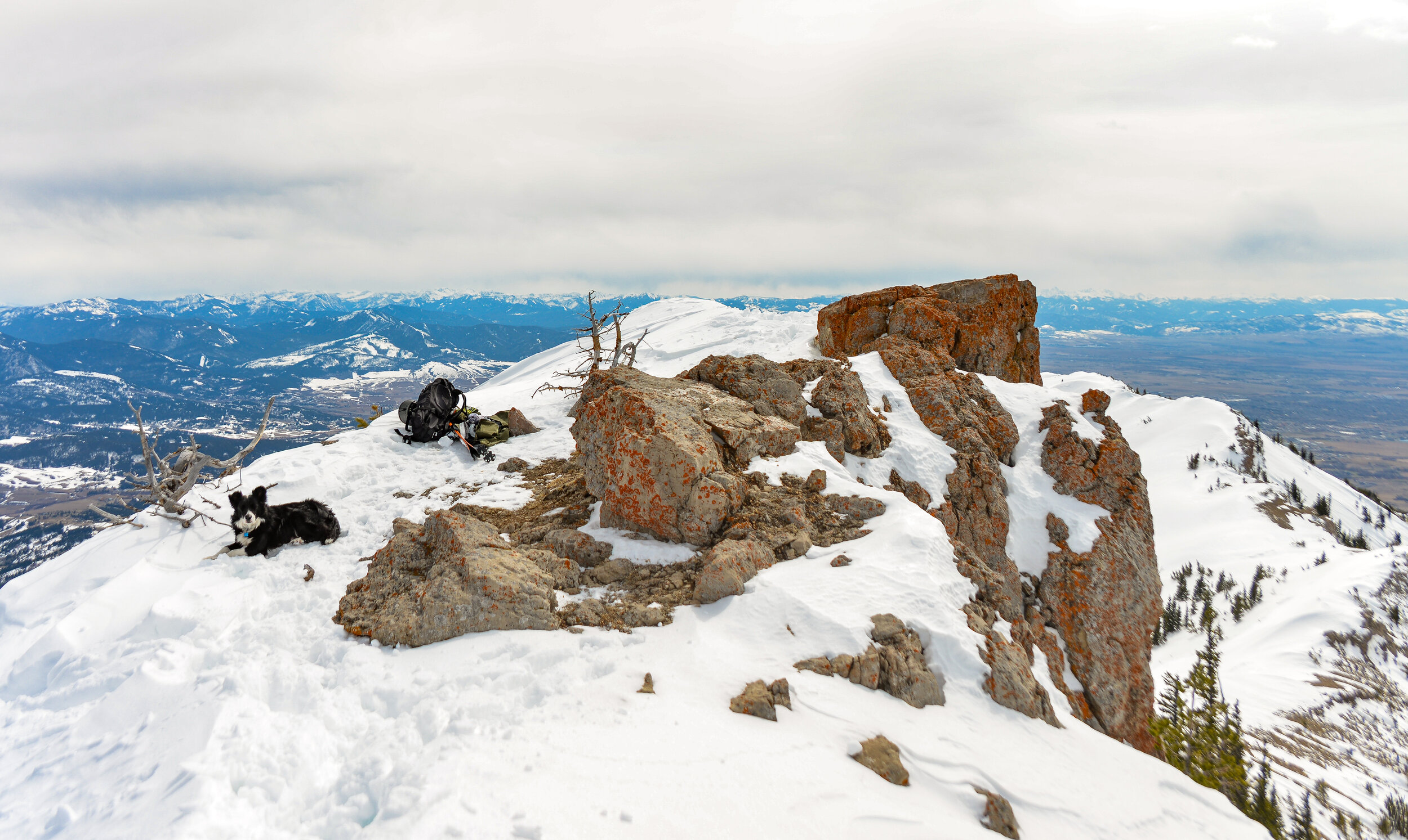
Lex checking out the view of Saddle Peak on the way back to the ski area boundary.